Gridded Climate Datasets and the Power of Resolution
How we slice the world into angles, why those slices change size as you move, and why choosing the right dataset is the difference between a blurry average and a precise reality.


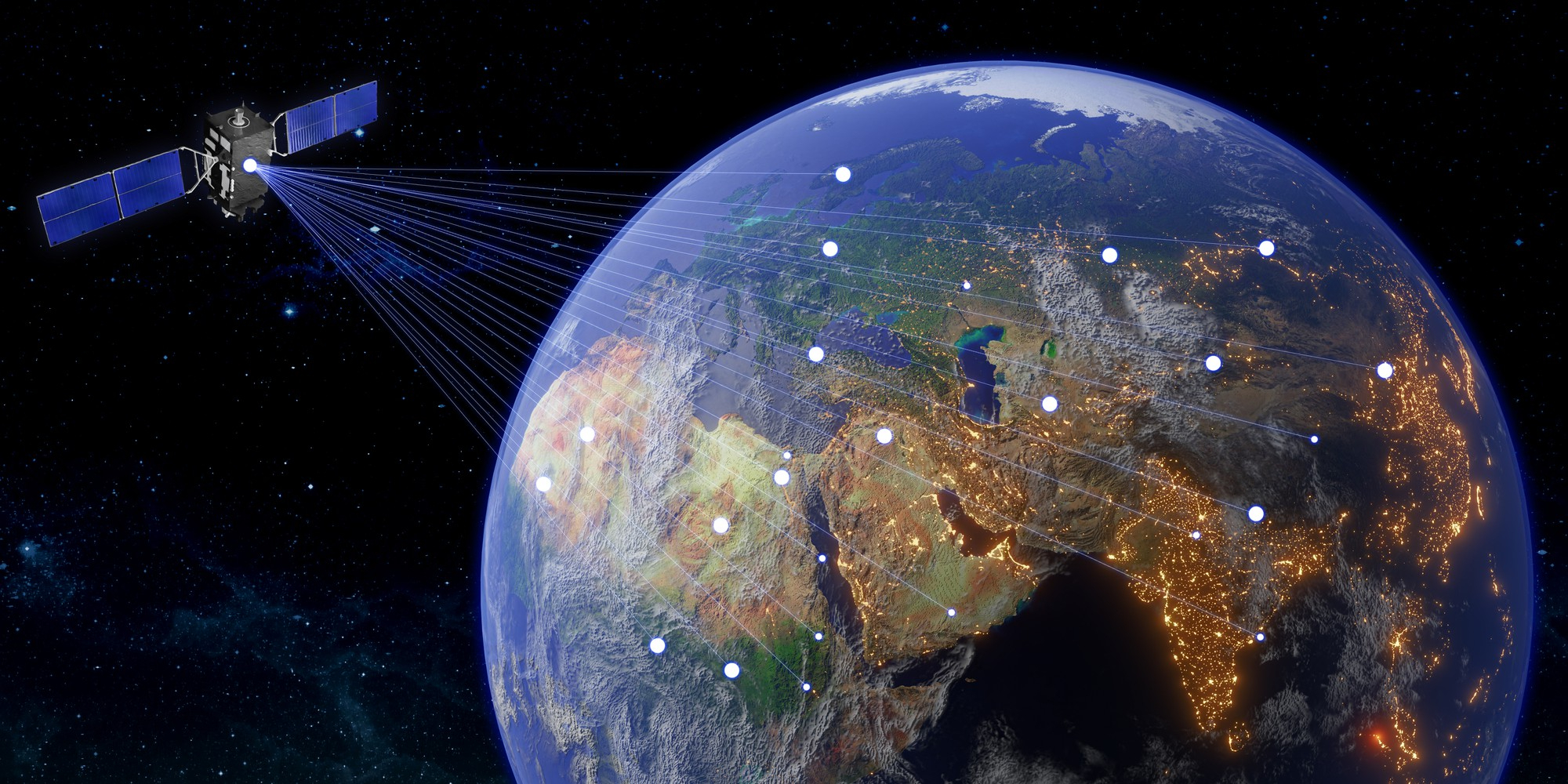
The quantification of Earth's atmospheric and terrestrial state requires the imposition of a systematic framework upon a complex, irregular ellipsoid. To understand our changing climate, we must first digitize it - a process that involves dividing the entire planet into a series of discrete points known as a Grid.
Every intersection in this digital framework is a "Grid Point" - effectively a virtual weather station that records the pulse of the planet. However, the scientific truth of the data we see depends entirely on Resolution - the distance between these points. This is the story of how we slice the world into angles, why those slices change size as you move, and why choosing the right dataset is the difference between a blurry average and a precise reality.
The Geometry of a Curve: Degrees vs. Kilometers
To represent the Earth within a digital environment, we must address the physical reality of the planet as an "oblate spheroid" - a sphere slightly flattened at the poles and bulging at the equator. Because of this curve, we cannot use a simple flat ruler to measure distances consistently across the globe. Instead, we use Geographic Coordinate Systems based on angles from the Earth's center.
The distance represented by a "degree" is not a fixed number of kilometers. While latitude lines (parallels) remain equidistant - roughly 111 kilometers apart - longitude lines (meridians) behave differently as they approach the poles.
At the Equator (0°)
111.3 km
The Earth is at its widest. 1° of longitude spans its maximum distance.
Tropic of Cancer (23.5°N)
103 km
Cities like Ahmedabad and Kolkata sit here. The Earth has already begun to narrow.
At the Poles (90°)
0 km
Longitude lines converge to a single point - the distance between them vanishes entirely.
The Resolution Ladder: Measuring the World
Resolution determines how much "averaging" happens within the data. A coarse grid takes the weather of a massive region and compresses it into one single number, while a fine grid captures the nuances of the local landscape.
1.0° Resolution
The Overview - ~111 km
A single grid point at this resolution covers over 12,000 km² - roughly the distance from Ahmedabad to Vadodara. The data is too "blurry" to see a local rainstorm; it treats the entire region as one average. Typically reserved for long-term historical temperature archives.
0.5° Resolution
The Regional View (~55 km)
Covers the distance from Ahmedabad to Nadiad. Four times more precise than the 1.0° view. This is the standard for modern real-time temperature monitoring by the IMD, as heat tends to be more consistent over large areas than rainfall.
0.25° Resolution
The District Detail (~28 km)
The distance between Ahmedabad and its twin city, Gandhinagar (27 km). This is the current "gold standard" for global atmospheric modeling and high-resolution Indian rainfall data - sharp enough to distinguish between neighboring cities.
0.1° Resolution
The HD Zoom (~9–11 km)
Covers the distance from Ahmedabad city center to the Thaltej outskirts (10 km). This is the finest resolution available for global reanalysis. At this level, the data begins to "feel" the shape of the land - valleys, hills, and city heat islands finally become visible.
Global Standards: ERA5 and ERA5-Land Reanalysis
The European Centre for Medium-Range Weather Forecasts (ECMWF) provides the global foundation for climate intelligence through a process called Reanalysis - essentially a "weather time machine" that uses the laws of physics to fill in the gaps where physical observations are missing, creating a consistent, globally complete map of the climate dating back decades.
ERA5 - Atmospheric Focus
The parent dataset. Provides a comprehensive record of the global atmosphere from 1940 to the present. Monitors hundreds of variables - including wind speed, pressure, and humidity - across 37 different vertical levels of the atmosphere.
ERA5-Land - Terrestrial Focus
A high-resolution "replay" of ERA5's land-surface component. Applies a Lapse Rate Correction for altitude differences and tracks soil conditions across four distinct layers to a depth of 289 cm. Superior for agriculture and hydrology.
Regional Ground Truth: The IMD Gridded Archive
While global reanalysis provides consistency across borders, regional datasets like those from the India Meteorological Department (IMD) are the "gold standard" for local accuracy because they are built directly from a dense network of thousands of ground stations.
How IMD Builds the Grid
- Station NetworkUp to 6,955 rain gauge stations spread across the subcontinent.
- InterpolationShepard's Interpolation (modified angular distance weighting) guesses weather for empty spaces by weighting sensors closer to the grid point more heavily.
- Historical DepthA consistent daily rainfall record for over 124 years (1901–2024), tracking the long-term variability of the monsoon.
- Modern AdditionFiner 0.5° real-time temperature grids introduced to better track heatwaves as they happen.
Because IMD data is built on actual physical sensors rather than satellite "guesses," it serves as the ground-truth anchor against which all global models are validated.
The 9 km vs. 11 km Discrepancy
A common point of confusion is why the same 0.1° grid is sometimes called 11 km and other times 9 km.
The Equator Baseline
11 km
The IMD and general textbooks use the Equator as the standard. At 0°, 0.1° is exactly 11.1 km. This is a simplified "rounding" used for broad communication.
The Native Grid
9 km
ERA5-Land is built on a native Reduced Gaussian Grid with a spacing of exactly 9 km. At mid-latitudes, longitude lines have converged - this is the actual level of detail the model captures.
Dataset Comparison at a Glance
All five datasets used in Indian climate and insurance modeling
| 📦Dataset | 📐Stated Resolution | 🗺️Native Grid Size | 🎯Primary Focus |
|---|---|---|---|
| ERA5 | 0.25° | 31 km | Global Atmosphere & Wind |
| ERA5-Land | 0.1° | 9 km | Detailed Land & Soil Moisture |
| IMD Rainfall | 0.25° | 28 km | Indian Ground-Station Truth |
| IMD Temp (Archive) | 1.0° | 111 km | Historical Heat Records |
| IMD Temp (Modern) | 0.5° | 55 km | Real-Time Temperature Monitoring |
Why Resolution is the Key to Precision
Choosing a dataset is a choice about the sharpness of your lens. In climate science, Resolution = Precision.
The "Smearing Effect"
Imagine a heavy cloudburst dumping 100 mm of rain on a single field. In a coarse 111 km grid, that rain is averaged across the entire region.
Actual Event
100 mm
Heavy cloudburst on one field
What happened on the ground
1.0° Grid Records
~5 mm
"Light rain" - disaster invisible
What the data says
The disaster hasn't vanished - it has been "smeared" out by the math until it is invisible to the record. 95 mm of real damage simply ceases to exist.